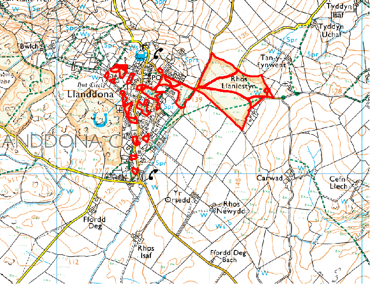
LLANDDONA LOCAL NATURE RESERVE
The village of Llanddona is intimately entwined with its common land - a result of centuries of erosion of the common land by smallholders. As a result, heathery outcrops characterise the village landscape, but the original grazing and estover (firewood) function of the land has long since ceased an these remnants are now mown and occasionally burnt. The larger block of common land at Rhos Llaniestyn to the east, a fine area of lowland heath, still retains the potential for traditional management (grazing and burning) to be restored.
Access: From the village. A regular bus service runs through the area.
Vertical Aerial Photograph
Map reproduced by permission of Ordnance Survey ® on behalf of the Controller of Her Majesty's Stationery Office. © Crown copyright. All rights reserved. License number 100044910.