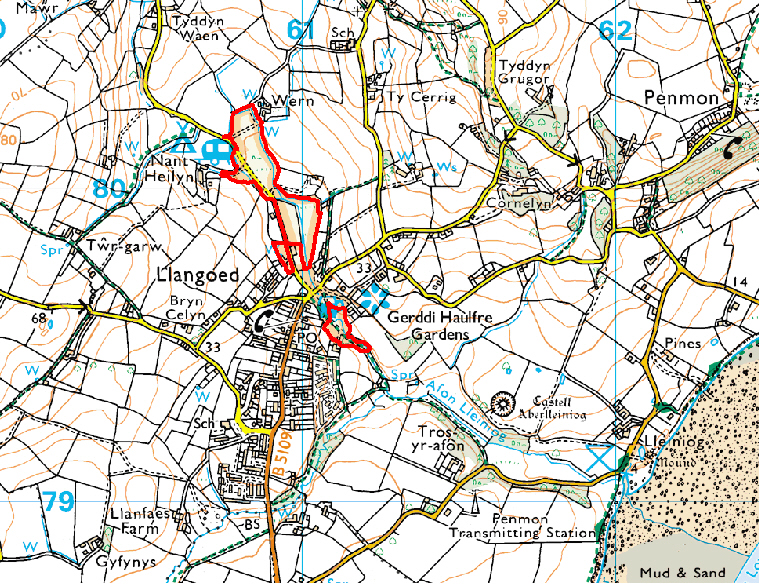
Access: A trail has been constructed along the river from beside the public house (Y Rhyd). South of the road the public footpath continues along the river to the coast.
Map reproduced by permission of Ordnance Survey ® on behalf of the Controller of Her Majesty's Stationery Office. © Crown copyright. All rights reserved. License number 100044910.