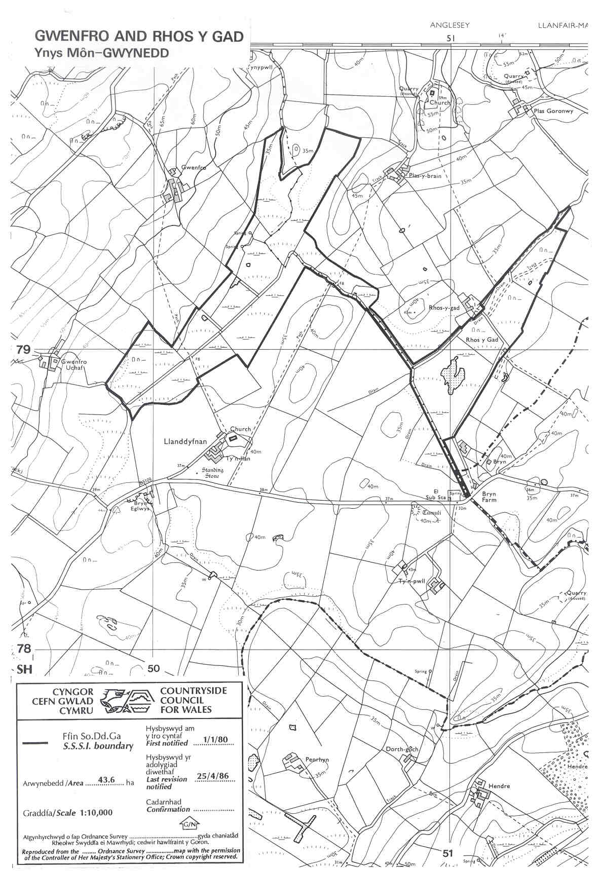
GWENFRO AND RHOS Y GAD SSSI (SAC)
Hidden in the rolliing country west
of Pentraeth village, an area of glacial sand and gravel deposits, the
wet valley bottoms at Gwenfro and Rhos y Gad farms support lime-rich
fen. Although modified by drainage and in parts damaged by agricultural
pollution the site retains valuable wildlife, including narrow
leaved marsh orchid and medicinal leech. There are two public footpaths
crossing the area and the fields east of Rhos y Gad farmstead are
registered as Common Land with open access - check access maps here.
Anglesey map
SSSI Citation
Potentially Damaging Operations list
Site Management Statement
Special Area of Conservation (SAC)
Aerial Photograph
Map reproduced by permission of
Ordnance Survey ® on behalf of the Controller of Her Majesty's
Stationery Office. © Crown copyright. All rights reserved. License
number 100044910.