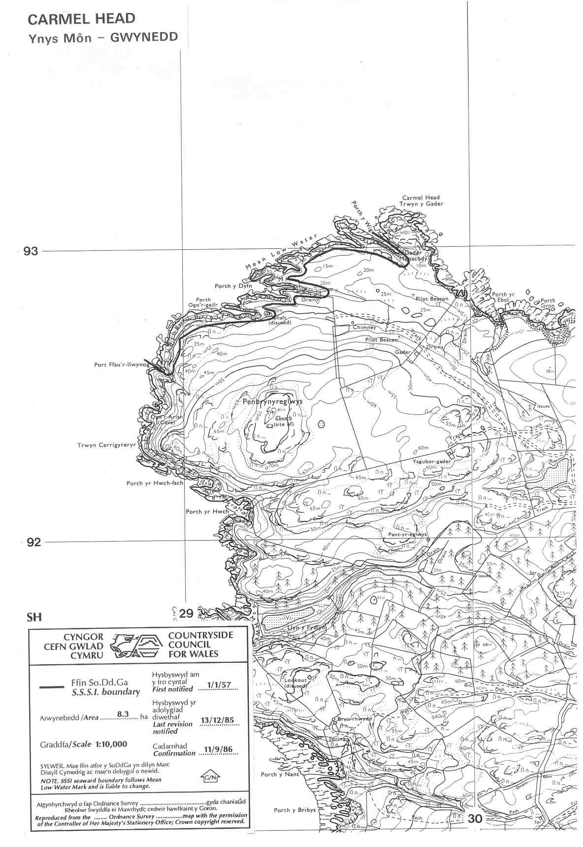
Map reproduced by permission of Ordnance Survey ® on behalf of the Controller of Her Majesty's Stationery Office. © Crown copyright. All rights reserved. License number 100044910.
Geological hard rock exposures on this dramatic headland overlooking The Skerries and the intervening tide-race. The land is owned by the National Trust but access is restricted during the pheasant shooting season in the autumn.
Potentially Damaging Operations list
Map reproduced by permission of Ordnance Survey ® on behalf of the Controller of Her Majesty's Stationery Office. © Crown copyright. All rights reserved. License number 100044910.