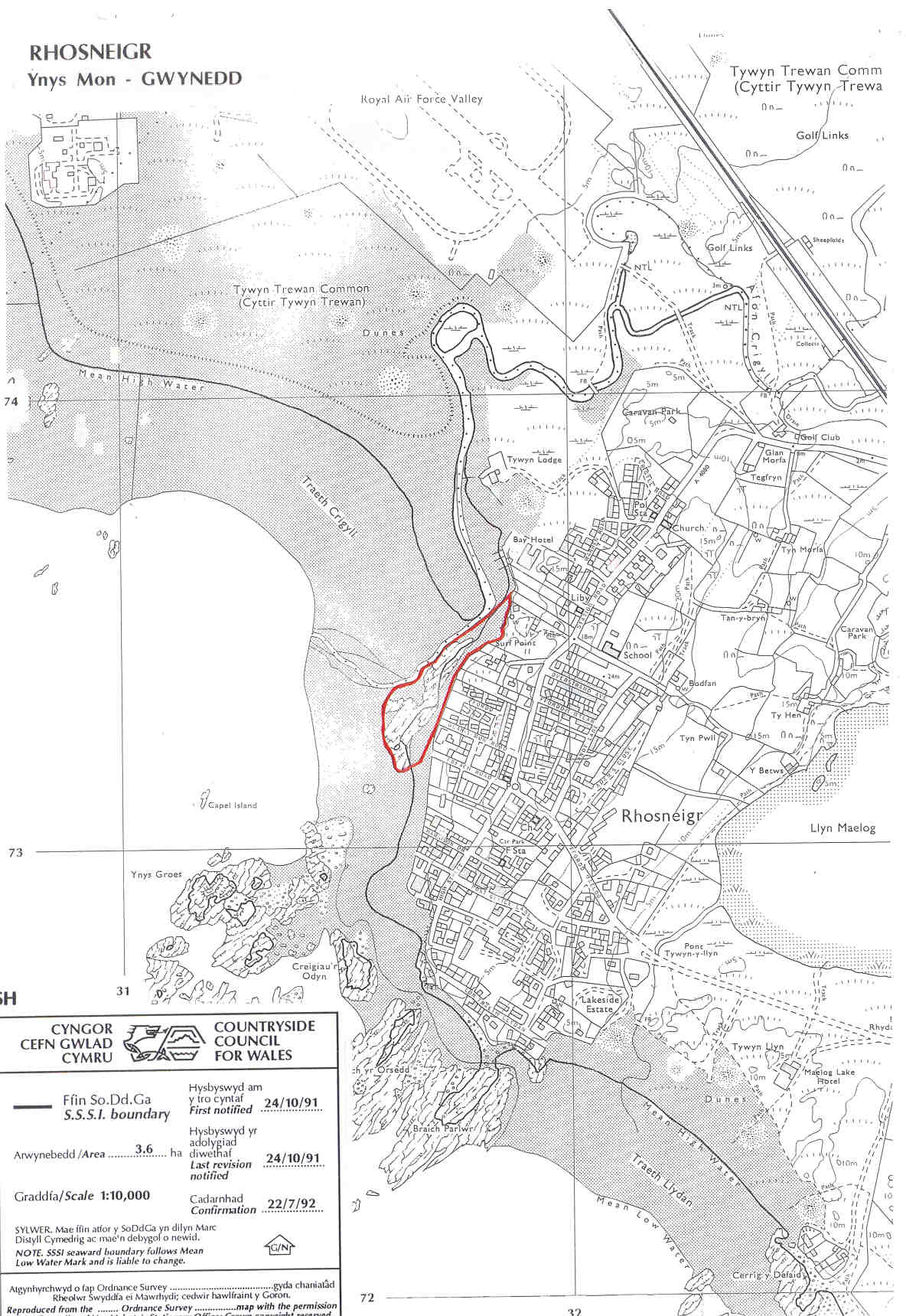
RHOSNEIGR SSSI
Innocent looking rock outcrops on
the beach deserve closer examination, for they reveal intricate folding
of the Ordovician sediments.
Anglesey map
SSSI Citation
Potentially Damaging Operations list
Vertical aerial phograph
Map reproduced
by permission of Ordnance Survey ® on behalf of the Controller of
Her Majesty's Stationery Office. © Crown copyright. All rights
reserved. License number 100044910.